215-6052-11760
Project Abstract
Project Location
The project area is located SE of the city of Mitchell, OR in Wheeler County
Project Need
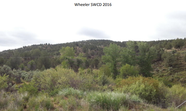
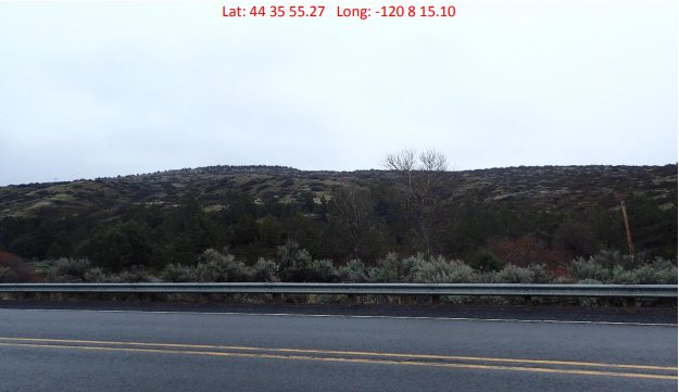
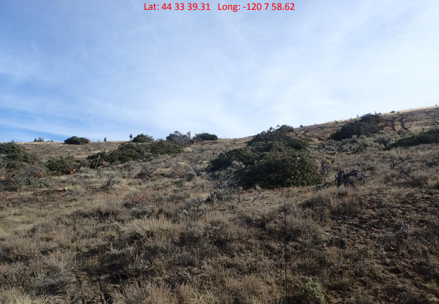
The combination of invasive species encroachment in the riparian area, loss of native vegetation, juniper/ponderosa pine encroachment, historic landuse practices, and historic fire suppression has created a decline in quality upland habitat and reduced water quanity and quality in teh headwaters of Bridge Creek.
Proposed Project Work
This project seeks to address the Bridge Creek Watershed sediment load and water quanity attributes identified by the Mid-C Recovery Plan by restoring approximately 795 acres of the headwaters of Bridge Creek uplands that have been encroached by western juniper/ponderosa pine. This Project is a part of a 5 year plan to restore 65% of the priority upland habitat in the headwaters of Bridge Creek to natural function.
Project Partners
OWEB funds will be used for project management, technical assistance, range seeding, and brush management.
Project Completion Report
Final_Report_11760.pdfMonitoring Report
PISR1_215-6052-11760.pdf